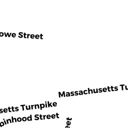
139 ROWE ST
Owner Information
COAKLEY MARGO R
139 ROWE ST
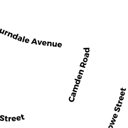
AUBURNDALE, MA 02466


Property Details
139 ROWE ST is classified as a Single Family Residential (Old style).
The primary structure on this property was built in 1905. There are 2,753ft2 of built area within this property. There is 1,735ft2 of residential/living space within this property. This property is listed as having 7 rooms.
139 ROWE ST is valued at $622,800. The land is valued at $464,800 and the structures are valued at $158,000.
This property is in Zone SR3. Confirm with local Zoning Board authorities to ensure there are no overlays or other easements on this property.
The most recent deed for 139 ROWE ST is recorded at the local registrar in Book 23379, Page 301. 139 ROWE ST was last sold on Tuesday, June 1, 1993 for $165,500.
Assessment data from fiscal year 2022.
Flood Data
According to the FEMA National Flood Hazard Layer, this property does not appear to be in a flood zone. It may also be in an area not yet reviewed. Nonetheless, confirm this information prior to taking any action.
To view the flood hazards around this property, create a FEMA "Firmette" Map of the area around 139 ROWE ST.
Broadband Internet Providers
| Provider | Type | Bandwidth (mbps) | |
|---|---|---|---|
| RCN | Cable | 500 | 20 |
| Comcast | Cable | 1000 | 35 |
| Verizon New England Inc. | Fiber | 940 | 880 |
| Verizon New England Inc. | DSL | 1 | 0 |
| Viasat Inc | Satellite | 100 | 3 |
| VSAT Systems, LLC. | Satellite | 2 | 1 |
| HughesNet | Satellite | 25 | 3 |
| GCI Communication Corp. | Satellite | 0 | 0 |
Broadband service provider data from December 2020.
Adjacent Properties
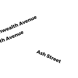
- 2021 COMMONWEALTH AVE
Single Family Residential owned by DAHLSTEDT COREY - 143 ROWE ST
Single Family Residential owned by GUPTA ADITYA - 135 ROWE ST
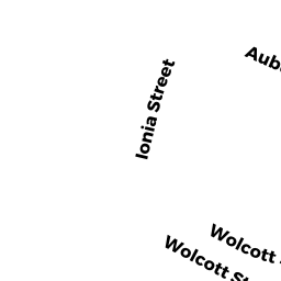
Single Family Residential owned by SMITH DANA - 386 WOLCOTT ST #1
Residential Condominium owned by ROSSI JOSEPH & ANN LOUISE E - 386 WOLCOTT ST #2
Residential Condominium owned by CHIANG CHIALING - 386 WOLCOTT ST
Other, Open Space owned by 386 WOLCOTT ST MASTER DEED